University researchers seek to link map to A-bombing-related data
May 11, 2010
by Junji Akechi, Staff Writer
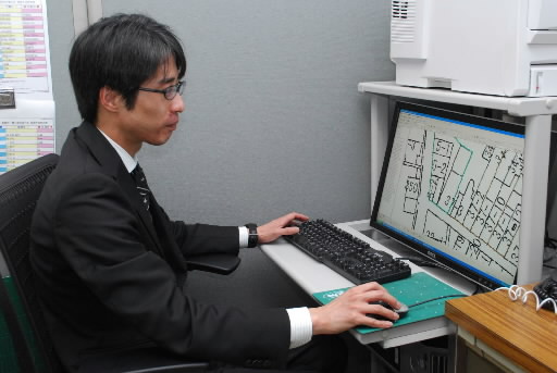
Yuya Sato, an assistant professor of geography, and others at Hiroshima University's Research Institute for Radiation Biology and Medicine (RIRBM) are working to link a map of the city of Hiroshima before the atomic bombing to a variety of A-bombing-related data. They say that the precise positional information will make possible integrated analysis of research findings obtained so far, such as survivors' incidence of diseases and mortality, and the distribution of radiation doses found in the soil.
Utilizing the "geographic information system" (GIS), which allows various information to be incorporated into maps, and referring to the Hiroshima City Development Plans made from 1925 to 1928 and aerial photos taken before the atomic bombing, the team is creating a digital map of the area within a three- to four-kilometer radius of the hypocenter. Of the materials stored at RIRBM, current plans call for the data of the roughly 10,000 hibakusha whose A-bombed locations are precisely known to be linked to the map.
The map will allow highly precise calculations of distances from the hypocenter and radiation exposure doses for respective survivors. In addition, if three-dimensional geographical information, data providing the hourly direction of the wind, and other data are incorporated into the map, it will help infer the area where the black rain fell in the immediate aftermath of the bombing.
Until now, estimation of radiation exposure doses and survey results of the residual radiation were plotted on different maps, which has made analysis of combined research results difficult.
The duration of the work is expected to be two years starting in 2009. Mr. Sato said, "Using cutting-edge technology, we aim to develop a system which enables researchers to make good use of the accumulated research results."
(Originally published on May 1, 2010)